I. Remera In True Context Of Ruanda
The present work is the result of the study of a small community in Ruanda by the name of Remera. In order to situate this com-munity bath on the map and within the greater society of which it is a part, some consideration of the general area is essential.
Until July 1962, Ruanda was a United Nations Trust Terri-tory under Belgian Administration. It was linked for administrative purposes ta its sister kingdom ta the south, Burundi, under the joint name of Ruanda-Urundi, each having a Belgian Resident. From January 1961, to July 1962, the joint territory was officially called Rwanda-Burundi. The author will use Ruanda-Urundi in this work, however, because it is more widely known under that name. For purposes of administration, Ruanda was it-self divided into nine Territories: Astrida, Biumba, Kibungu, Kibuye, Kigali, Kisenyi, Nyanza, Ruhengeri, and Shangugu.
THE LAND
Ruanda is located on the eastern side of Lake Kivu. It is separated from Lake Victoria by a panhandle section of the Republic of Tanzania. To the north, it is bounded by Uganda. The area of Ruanda is 20,110 square miles 2 and its population was 2,452,737 in 1959.
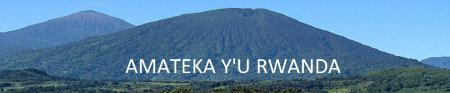
The country is a high plateau across which the Congo-Nile Divide runs from north to south on its western side. The plateau is made up of a multitude of hills cut by deep enclosed valleys, the bottoms of which are nearly always covered with papyrus marshes. The lakes of the country are generally drowned valleys, as evidenced by their strange finger-like shapes.
The plateau is highest to the west and north where it runs into Uganda under the name of Ruwenzori, the famed Mountains of the Moon. This region is about 8,000 feet above sea level except for the Virunga chain of volcanoes, which tower above this level. The plateau becomes lower as one travels towards the eastern part of Ruanda; the bills become larger and flatter on top and the vegetation comes to resemble that of savannah lands. The elevation there probably never fans below 3,800 feet above sea level. Lake Victoria is at 3,720 feet above sea level and the Kagera River flows into it from Ruanda whose eastern boundary it forms.
By our standards the landscape is beautiful, and although the country lies completely between Latitude 1°and 4°30′ South (28° 30′ to 31°Longitude East), the elevation prevents it from being unpleasantly hot.
https://uk.amateka.net/remera-in-true-context-of-ruanda/https://uk.amateka.net/wp-content/uploads/2021/03/remera.jpghttps://uk.amateka.net/wp-content/uploads/2021/03/remera-150x150.jpgModel CitizenshipThe present work is the result of the study of a small community in Ruanda by the name of Remera. In order to situate this com-munity bath on the map and within the greater society of which it is a part, some consideration of the general area is essential. Until...BarataBarata rpierre@ikaze.netAdministratorAMATEKA | HISTORY OF RWANDA